|
Mt. Edith Cavell - East Ridge (Alpine III, 5.3) ascent and West Ridge (Alpine II) descent |
|
|
|
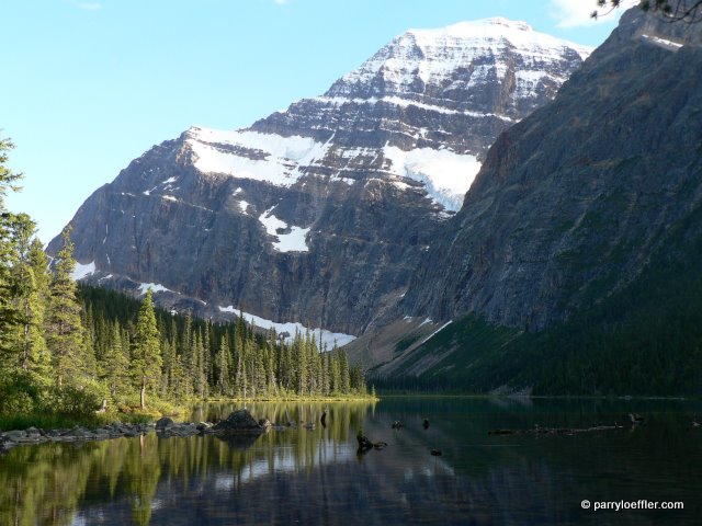
Jeff and I climbed the classic East Ridge (Alpine III, 5.3) of Edith Cavell, a prized 11,000er (3363m), and descended via the West Ridge (Alpine II). A fantastic route with a great weather day, it's easy to see why it's a CLASSIC! We put the first entry in the summit register for 2010, but I'm certain there had been other parties up there in the previous weeks even though no tracks were visible up high. We started just after 4:30am and took just under 2hrs and 585m gain to reach the col. Then just under 2hrs and 615m gain to do the lower ridge to the plateau. The technical upper ridge had some unnerving rime ice and snow, which made it challenging and slowed us down off of an initial good pace; it took just over 4hrs and 450m. The final ridge walk to the summit took just under 15min. Just over 9hrs to the summit in total. Descent via West Ridge route was 5hrs15min. Totals for the trip were 1685m total gain, 1578 net gain, in just over 14hrs trip time. For a rack, we took three mid-sized nuts, three hexes to 2" and two tri-cams. Because of the snow/ice, we were glad to have it all and it would have been nice to have maybe four more additional pieces of the same since we made use of some in situ tat and pins from a couple rap stations for our belay anchors and without those it would have been skinny on the gear. In ideal snow/ice free conditions the eight pieces might be reasonable for people confident with the grade. We also only did 30m length pitches, two for what I'm thinking was the crux on the upper ridge, and then two more for some terrain above that, which under dry, snow/ice free conditions would likely be far less of a problem. From trip reports I've read, it seems some people in the past have had some difficulty with the West Ridge as a descent. However, from the Cavell/Sorrow col, there now is a fairly well beaten trail in the scree for the most part if you keep your eyes open, as well as a few cairns lower down to help point the way. I didn't find it tedious at all and was quite relieved. Once down in the valley, it's still a long walk home, though ;-) |
|
Many photos and lots more details are in my photo album here: |
|
Note that there is section below for comments. This is a bit of a test trip report, so if you find this information helpful, please leave a comment as such and I'll keep the page up. Also, if you have any additional beta that you feel would be helpful, please feel free to add it! Although the author has tried to make the information as accurate as possible, he accepts no responsibility for any loss, injury, or inconvenience sustained by anyone using this information and has not confirmed the validity of any information added as comments by readers. |
|
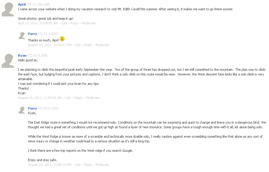
Archived Comments
|
|
|